Level 7 Guiding Question: What is your definition of a watershed?Although clean fresh water is essential to human life, in many parts of the world it is in short supply. The amount of fresh water is not the issue. There is plenty of fresh water to go around, because water constantly recycles on Earth. However, fresh water is not necessarily located where it is needed, and clean fresh water is not always available.Of all the water on Earth, about two percent is stored underground in spaces between rocks. A fraction of a percent exists in the air as water vapor, clouds, or precipitation. Another fraction of a percent occurs in the bodies of plants and animals. So where is most of Earth’s water? It’s on the surface of the planet. In fact, water covers about 70 percent of Earth’s surface. Of water on Earth’s surface, 97 percent is salt water, mainly in the ocean. Only 3 percent is fresh water. Most of the fresh water is frozen in glaciers and polar ice caps. The remaining fresh water occurs in rivers, lakes, and other fresh water features.
|
|
|
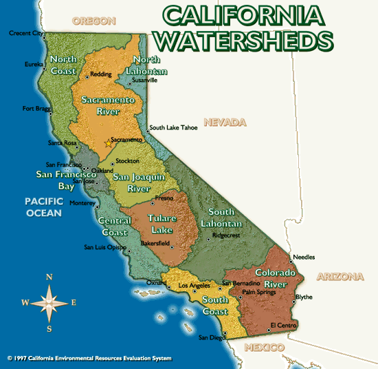
Our watershed
|
Cache Creek Nature Preserve34199 Co Rd 20,
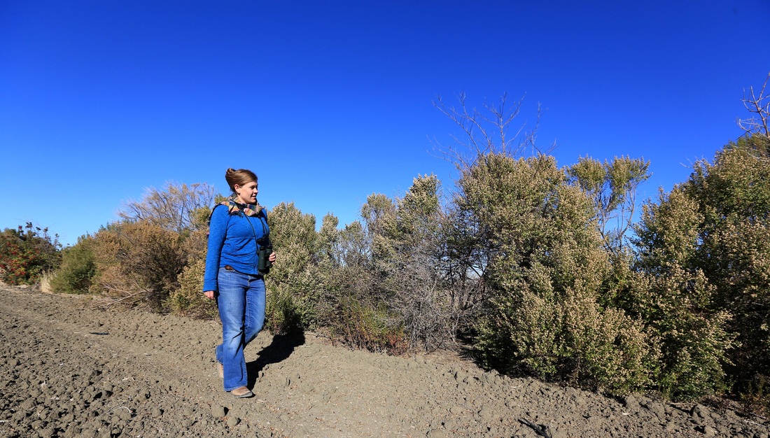
Woodland, CA 95695 Jan T. Lowrey Cache Creek Nature Preserve is a 130-acre complex of wetlands, oak woodlands, grasslands, and creek side lands. This serves as the site for our environmental education program in which approximately 2,500 elementary students per year participate in learning about the environment. This site also contains the Jan T. Lowrey Memorial Grove, which showcases California native plants and contains a small amphitheater; and the Tending and Gathering Garden, a collaborative effort with the Native American community to demonstrate native plants used in Native American cultural practices. |
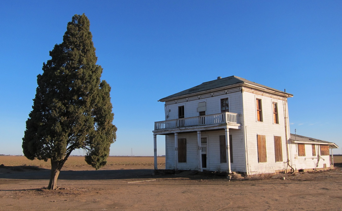
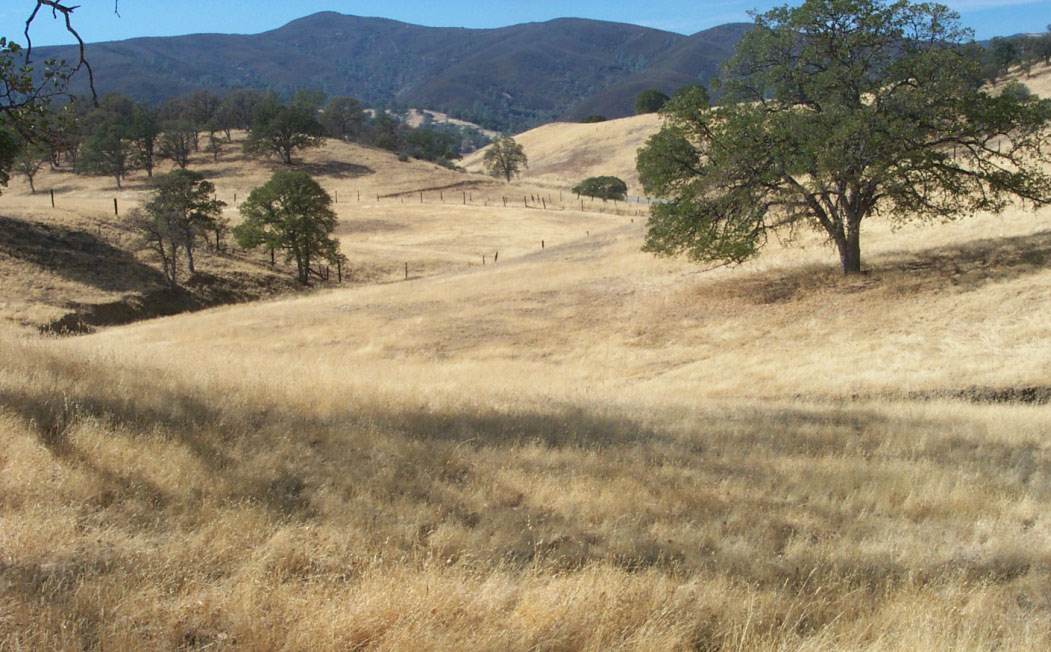
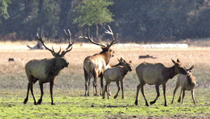
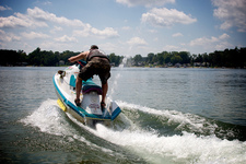
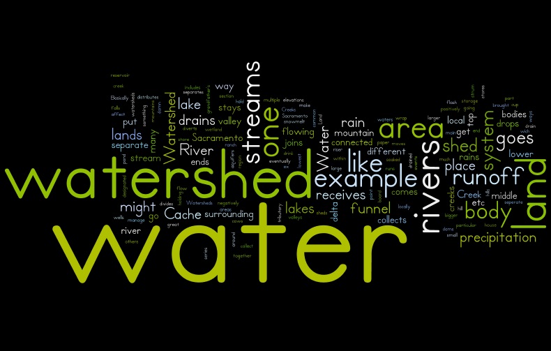
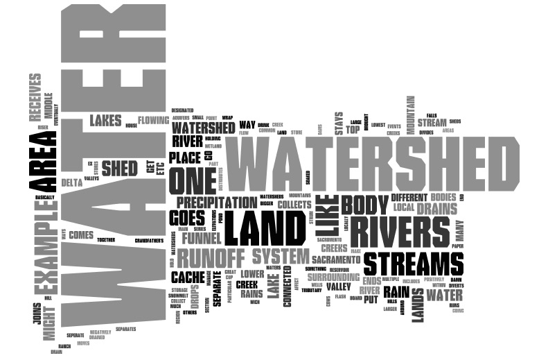
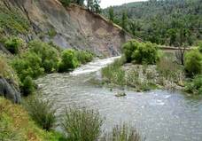
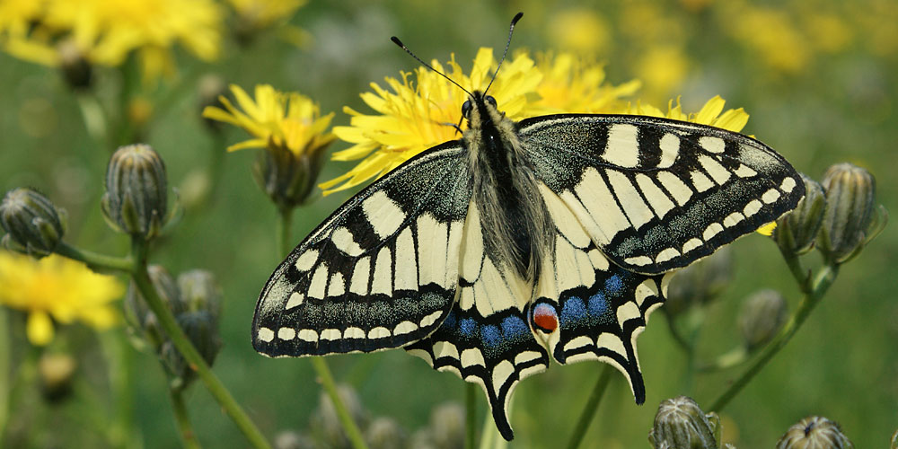
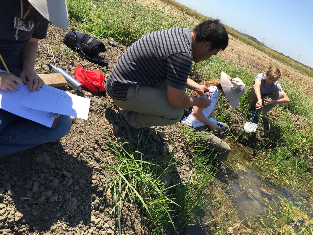
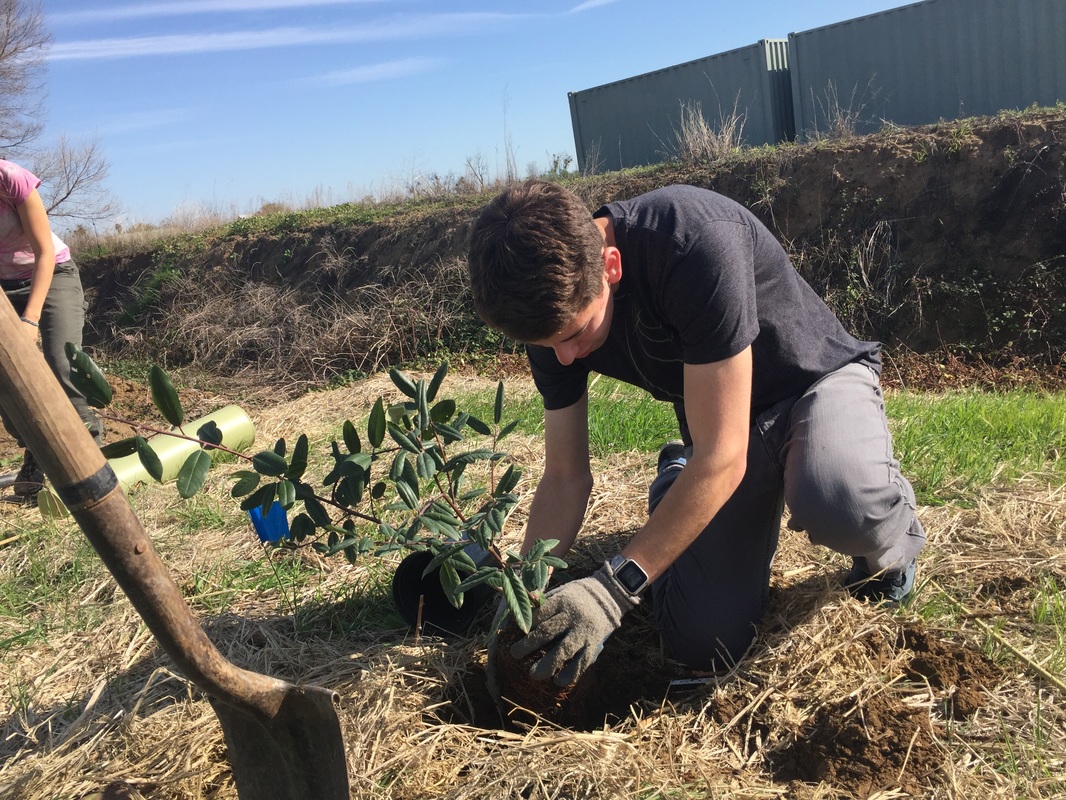
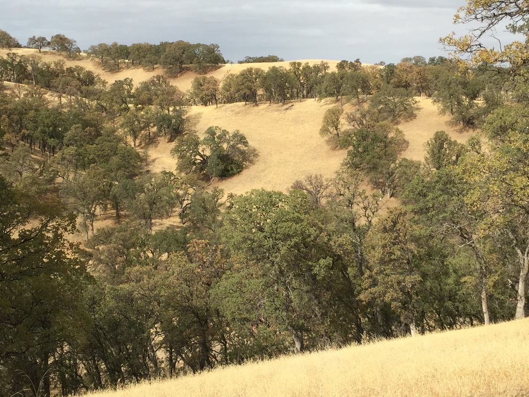
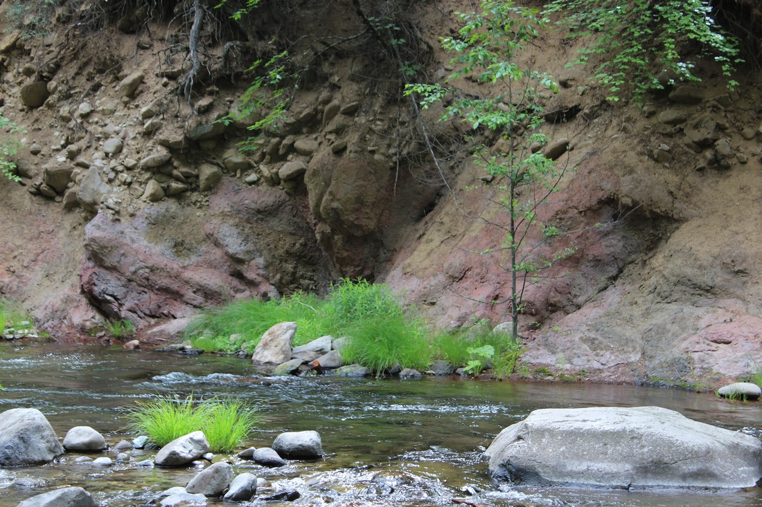
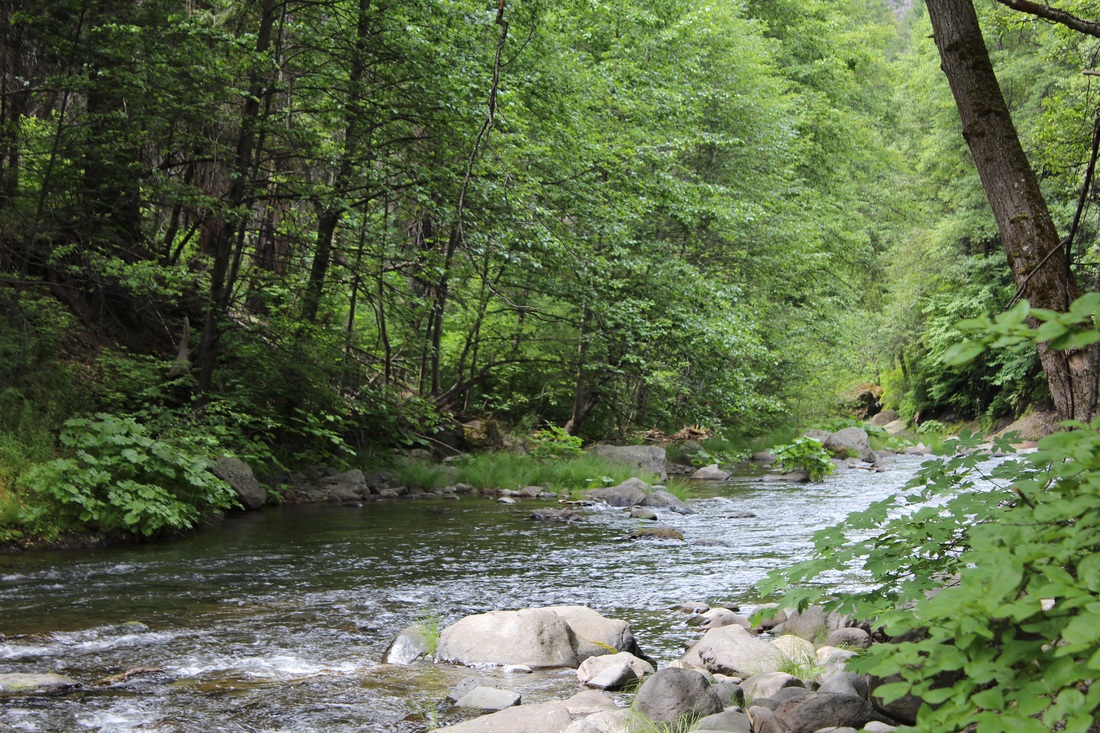
Which one of these pictures illustrates what our watershed looks like?


You can never step into the same river twice.....Heraclitus |
|
Level 7 Investigation: Characteristics of our watershed (Part 1)
Often referred to as drainage, basins or catchments, watersheds are the gathering ground of a river system. A watershed is an area of land that drains water toward a common river. the boundaries of watersheds can be identified on a map by tracing a line along the highest elevations (often a ridge) between two drainage areas. Large watersheds often contain many smaller watersheds.
Beginning at the highest elevations of a watershed, runoff (water from rain, melting snow and ice) collects to form rivulets that merge into small headwaters streams. As headwaters streams flow downhill from the sides of the watershed, they gather more water and eventually join to become tributary streams. These tributaries flow into the main stem of a river that, with exceptions such as basins, eventually flow to the sea.
During winter, precipitation is stored as snow in snow pack (accumulated snow that is condensed and compressed by its own weight). In some mountainous areas, snow pack can build higher that 20 feet. Very little water will flow into streams at this time, what flow there is generally comes from ground water, springs or periodic snow melts.
With the arrival of spring and warmer temperatures, the snow-pack begins to melt. For several week this water often referred to as the "spring-melt or run-off" saturates the ground and fills streams. Stream-flow will depend on how much snow is present and how fast the temperature rises. If enough runs off at once, flooding can occur at low elevations in the river's floodplain (low area along a river's channel). Rivers rise as the temperature warms and melted snow-pack accumulates downstream. Springs and ground water that have recharged by melted snow, discharge into streams that are also replenished by summer rainstorms.
In fall, as temperatures coll and precipitation diminishes, stream-flows decrease until winter arrives, bring with it precipitation in the form of snow . The cycle repeats.

The words you use to describe what a watershed is!
|
|
Blue River
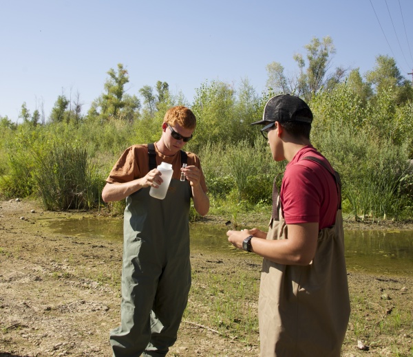
In this activity you will be learning the different components of a watershed and how they behave in different conditions.
While completing this challenge you will collecting data and analyzing it's significance while creating a hydro-graph as well as demonstrating the movement of water through a river and its watershed. Your instructor will be giving you instructions at the site.
While completing this challenge you will collecting data and analyzing it's significance while creating a hydro-graph as well as demonstrating the movement of water through a river and its watershed. Your instructor will be giving you instructions at the site.
After collecting your data on the Blue River activity upload it here:
Print the graph below using your data to create a Hydro-graph!
Level 7 Investigation: Characteristics of our watershed (Part 2)
|
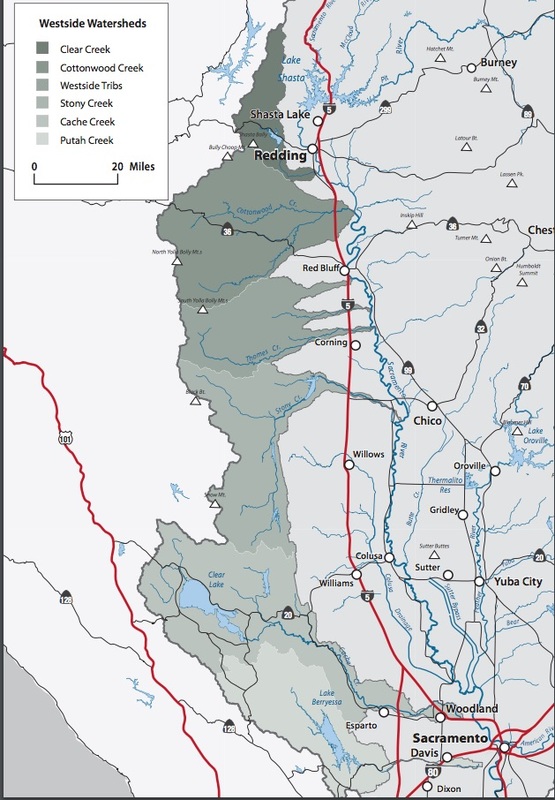
For this part we will be taking a field trip through the Capay Valley the heart of the Capay Watershed. below is a brief description of the valley and its watershed,
Cache Creek originates from Clear Lake in Lake County and is the only outlet for the lake. The two major tributaries to Cache Creek are North Fork Cache Creek and Bear Creek. Upper Cache Creek runs through a scenic canyon that consists mostly of mixed chaparral and is largely inaccessible. North Fork Cache Creek flows from the slopes of Goat Mountain through Indian Valley Reservoir. It merges with the mainstem below Highway 20 and flows through the Cache Creek Wilderness Area. Bear Creek flows into Cache Creek in Colusa County, which then continues through the bucolic, agricultural communities of Capay Valley in Yolo County. Rather than flowing into the Sacramento River in the lower reach, Cache Creek enters a settling basin northeast of the town of Woodland, where it deposits sediment before ultimately releasing water into the Yolo Bypass. The Cache Creek Watershed is primarily rural and sparsely populated. Agriculture is the predominant land use in the lower watershed, which together with gravel mining, is an important source of employment and tax revenue for the area. The watershed hosts a growing population of tule elk, plus winter populations of bald eagles. A large part of Cache Creek within Lake County is a federally designated Wilderness Area managed by BLM. Thirty-one miles of Cache Creek have been designated as a California Wild and Scenic River. |
Watershed Statistics
Watershed Size: 1,300 square miles Watershed Length: ~107 miles Average Annual Precipitation: 60 inches in upper watershed, 17 inches at Cache Creek Settling Basin Elevation:
Management Issues: forest health/fuels management, aquatic/riparian habitat, water quality, water supply, flood management, erosion/natural stream function, invasive species Counties: Lake, Colusa, Yolo |
Field Trip Assignment
|
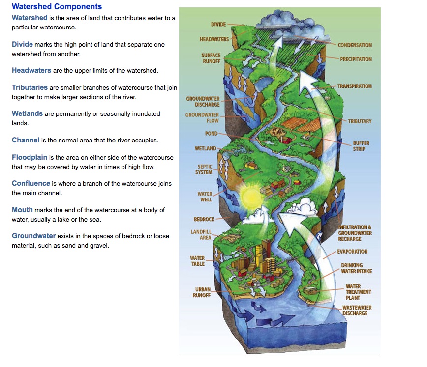
Below is a basic drawing of a watershed, before you go, study it carefully there are 15 landmark components of a watershed with the word bank below it. You are to watch for and find each component, label it, and provide a brief purpose or definition of the landmark on the back of the paper. When we arrive back from the field trip you are to upload you information on the form below.
|
Cache Creek Watershed Components
Cache Creek Watershed Scavenger Hunt
Level 7 Videos: Local Watersheds
|
|
|
Level 7 Elaborate: Your movie about watersheds.
|
|
You and a partner will make a 2 minute or less movie about watersheds, their components and their benefits. Also what they are and how important are they to our community. If you are using Google classroom you will be turning it in to your google account. If you are not in google classroom you will be emailing it to the email on the white board.
|
After you watch the above video please take the quiz below.
Level 7 Review: Click on the animation to review terms and view information about watersheds
To play the game click on the Watershed activity icon and click on the various icons to review the components of a watershed.
Level 7 Summary: Watersheds Website
|
|

Each student will be given a weebly website that you will develop over the course of the class each unit will require you to build a section that represents the topic we are studying each week. Each topic you craft will be worth 40 points see the rubric below each criteria is worth 8 points.
