Water Distribution
Level 11 Guiding Question: Who are the movers and shakers of California's water system and how does it happen?
|
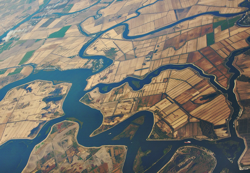
The Sacramento–San Joaquin River Delta, or California Delta, is an expansive inland river delta and estuary in Northern California. The Delta is formed at the western edge of the Central Valley by the confluence of the Sacramento and San Joaquin rivers and lies just east of where the rivers enter Suisun Bay. The Delta is recognized for protection by the California Bays and Estuaries Policy. The city of Stockton is located on the San Joaquin River on the eastern edge of the delta. The total area of the Delta, including both land and water, is about 1,100 square miles (2,800 km2).
The Delta was formed by the raising of sea level following glaciation, leading to the accumulation of Sacramento and San Joaquin River sediments behind the Carquinez Strait, the sole outlet from the Central Valley to San Pablo and San Francisco Bays and the Pacific Ocean. The narrowness of the Carquinez Strait coupled with tidal action has caused the sediment to pile up, forming expansive islands. Geologically, the Delta has existed for about 10,000 years, since the end of the last Ice Age. In its natural state, the Delta was a large freshwater marsh, consisting of many shallow channels and sloughs surrounding low islands of peat and tule. |
Blog Alert! Read the descriptions below and compare and contrast the 3 different agencies on how they move water, who funds them, what is their mission and who do they serve. Post your blog on the blog page if you are doing this assignment through the website if you are using google classroom post it on the class comment section. |
The Big 3*
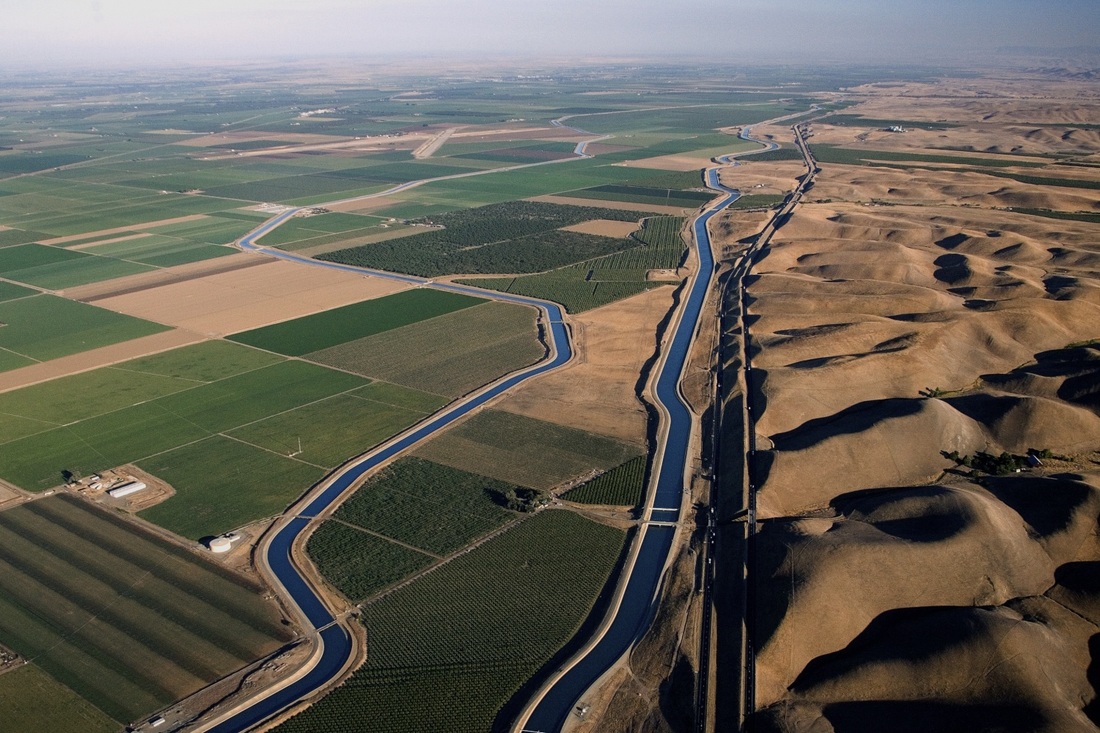
State Water ProjectThe SWP collects water from rivers in Northern California and redistributes it to the water-scarce but populous south through a network of aqueducts, pumping stations and power plants. About 70% of the water provided by the project is used for urban areas and industry in Southern California and the San Francisco Bay Area, and 30% is used for irrigation in the Central Valley. To reach Southern California, the water must be pumped 2,882 feet (878 m) over the Tehachapi Mountains, with 1,926 feet (587 m) at the Edmonston Pumping Plant alone, the highest single water lift in the world. The SWP shares many facilities with the federal Central Valley Project (CVP), which primarily serves agricultural users. Water can be interchanged between SWP and CVP canals as needed to meet peak requirements for project constituents. The SWP provides estimated annual benefits of $400 billion to California's economy.
|
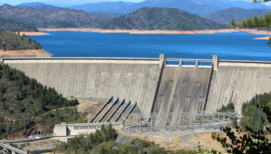
Central Valley ProjectThe Central Valley Project (CVP) is a federal water management project in the State of California under the supervision of the United States Bureau of Reclamation. It was devised in 1933 in order to provide irrigation and municipal water to much of California's Central Valley—by regulating and storing water in reservoirs in the water-rich northern half of the state, and transporting it to the water-poor San Joaquin Valley and its surroundings by means of a series of canals, aqueducts and pump plants, some shared with theCalifornia State Water Project (SWP). Shasta Division consists of a pair of large dams on the Sacramento River north of the city of Redding. The Shasta Dam is the primary water storage and power generating facility of the CVP. It impounds the Sacramento River to form Shasta Lake which can store over 4,500,000 acre feet (5,600,000 dam3) of water, and can generate 680 MW of power. |
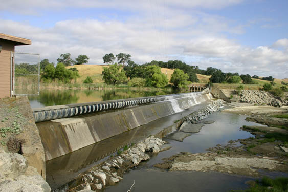
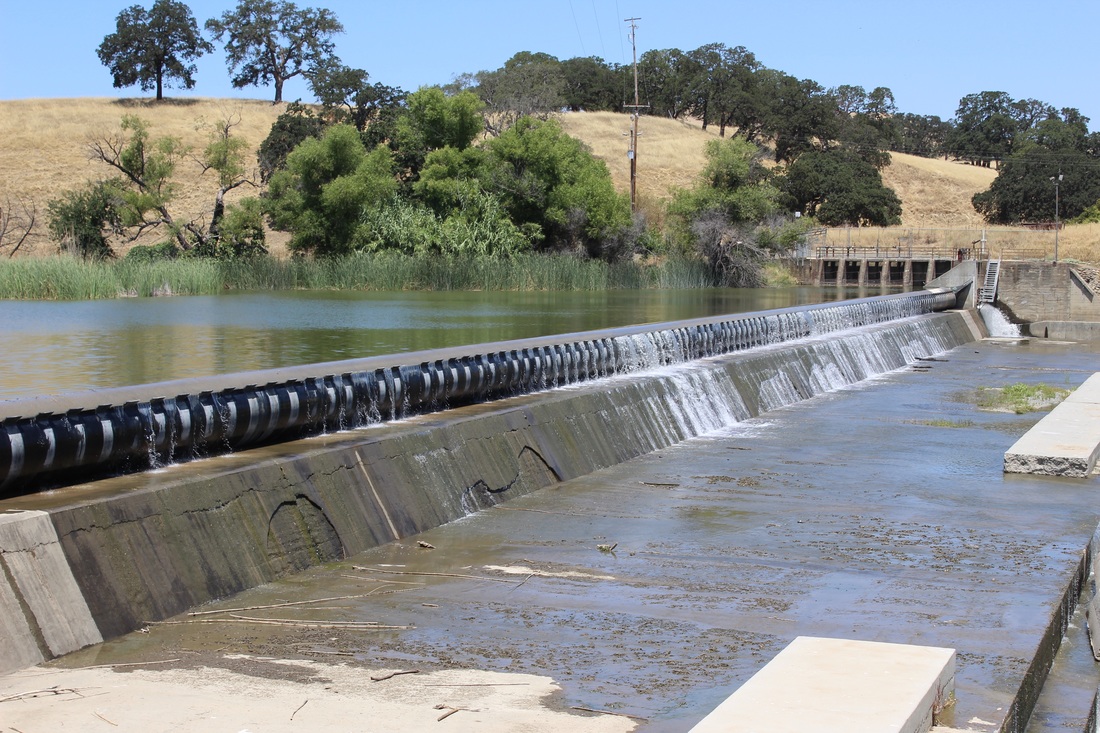
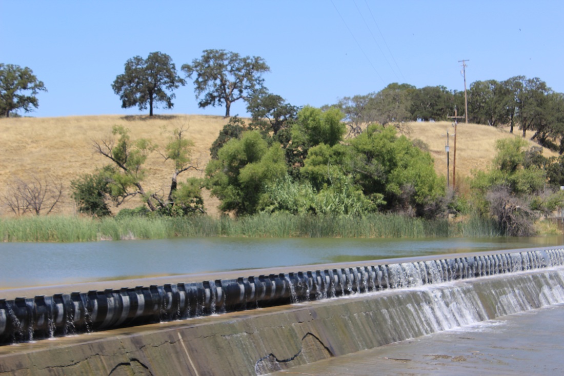
YCFCWCD In 1951, at the request of the Yolo County Supervisors, the Yolo County Flood Control and Water Conservation District was created by the California Legislature as an independent Special District. The primary purpose of the District was to seek new water sources and manage them efficiently. Initially, the District had no water rights and operated on a very small budget generated by property taxes. Today, the District manages a small hydroelectric plant, two reservoirs, more than a 150 miles of canals and laterals, and three dams including the world's longest inflatable rubber dam.The District's boundaries cover 195,000 acres of Yolo County, including the cities of Woodland, Davis and Winters, and the towns of Capay, Esparto, Madison and other small communities within the Capay Valley.
The Yolo Water and Power Company commissioned the construction of the Capay Diversion Dam in 1913. |
click on the buttons above to explore the history and the current uses of the water projects in California
* at least around here
Level 11 Investigation: Moving water in California
Level 11 Video: Cadillac Dessert
Mulholland's Dream, the first episode in the four-part CADILLAC DESERT series, tells the incredible story of how the hunt for and the exploitation of water brought the city of Los Angeles to life -- and, literally, life to Los Angeles. Evoking the real-life visionaries, scoundrels and dark intrigues behind the fiction of the motion picture Chinatown -- and the remarkable tale of Water Department chief William Mulholland's quest to quench the city's ever growing thirst for more and more water -- the broadcast weaves together past and present to illustrate water's essential role in the history of Los Angeles, as well as the city's challenges for the future.
|
|
|
|
|
Level 11 Elaborate: Make an Educreation about "The History of Water Development in California"
Watch the Video above to help get the perceptive you need to complete this assignment. In addition, read the websites (i.e. check out the link to Sierra to Sea under "Level 11 Investigation; Moving California Water" section) and articles listed above in the "Big Three" section above. Email your 2 minute or less VDO to your instructor or send it via Google Classroom.
Level 11 Review: Summarize the above VDOs
Level 11 Summary: Unit Test
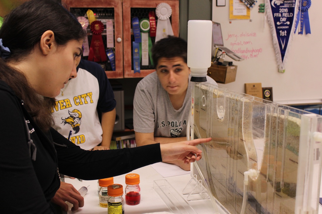
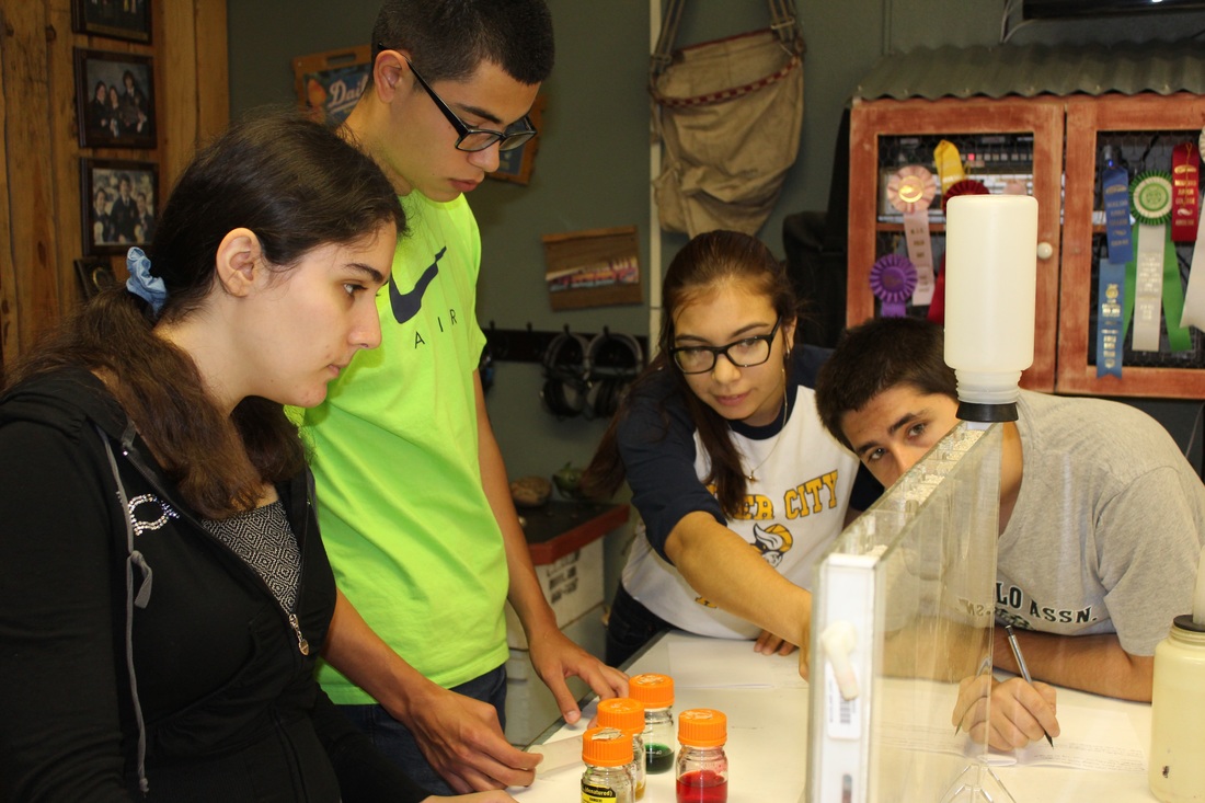
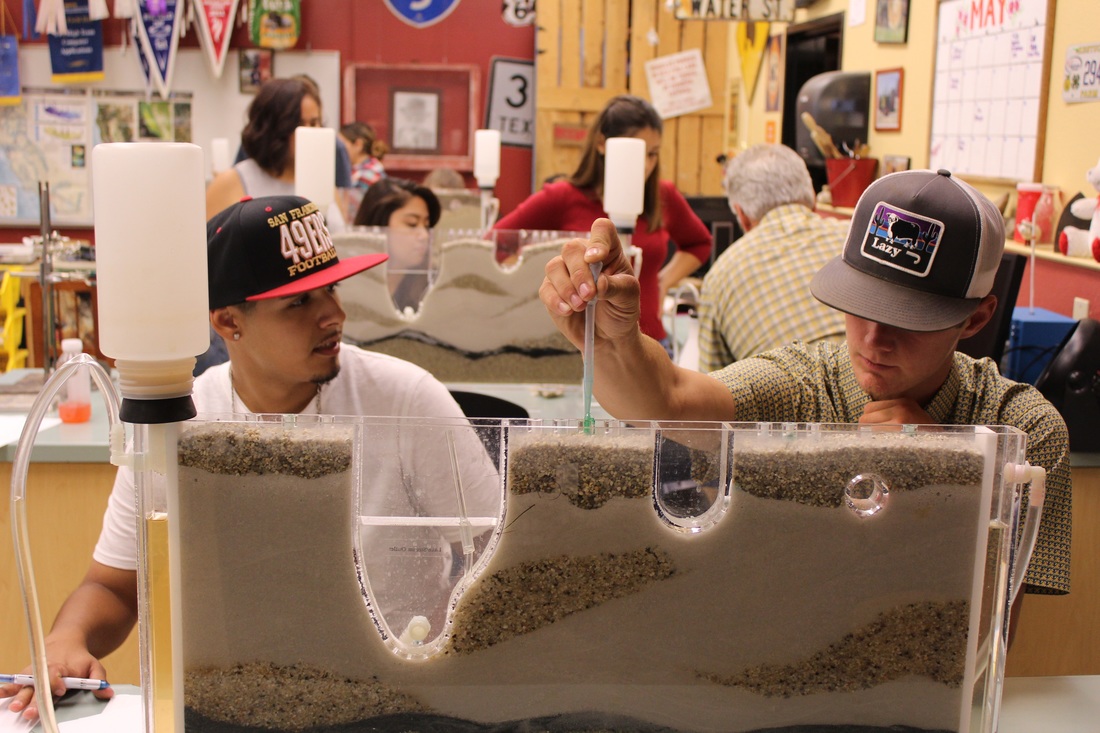
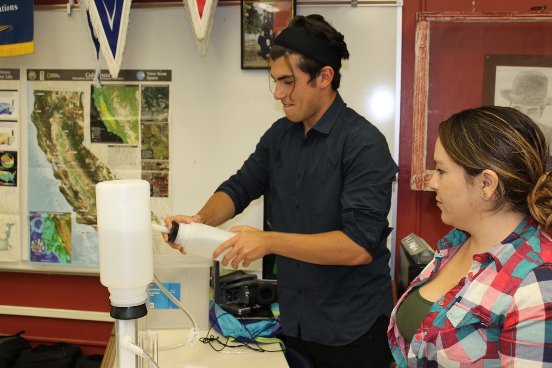
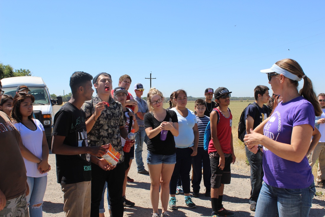
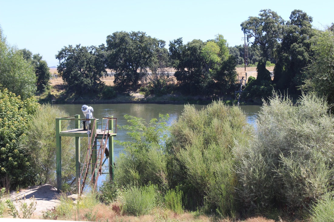
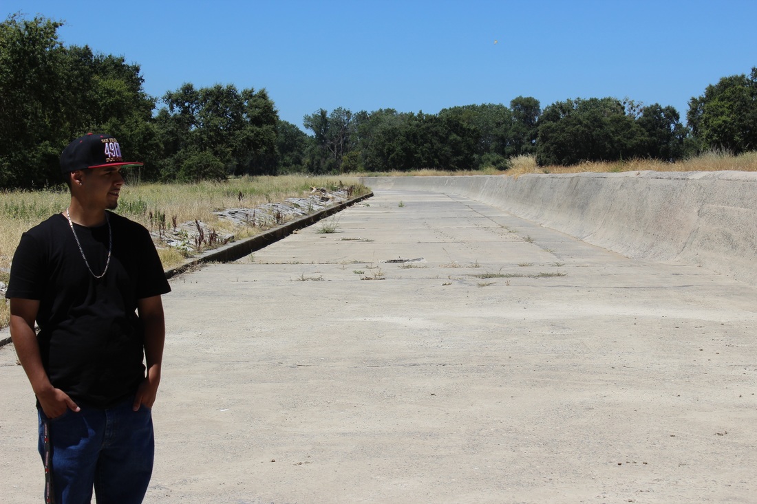
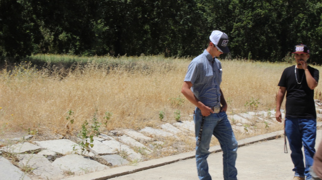
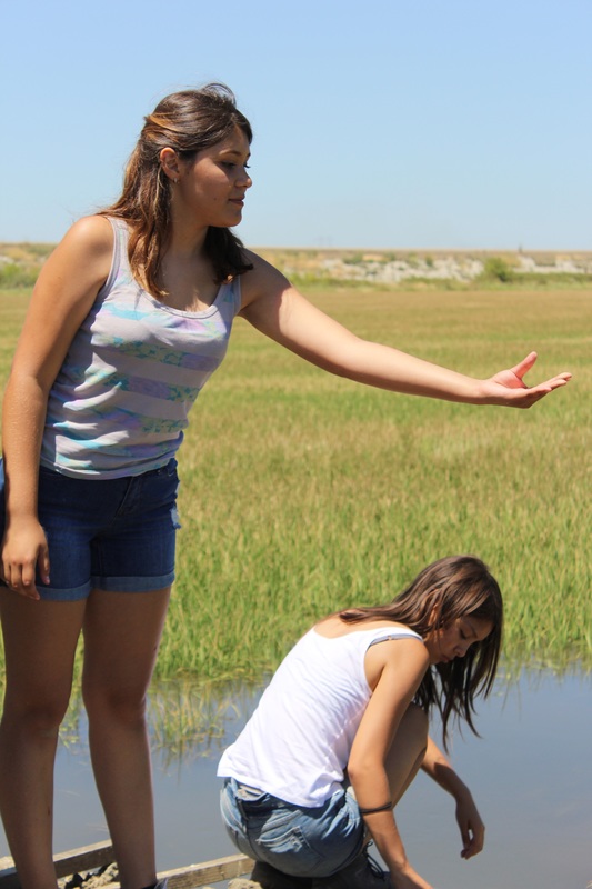
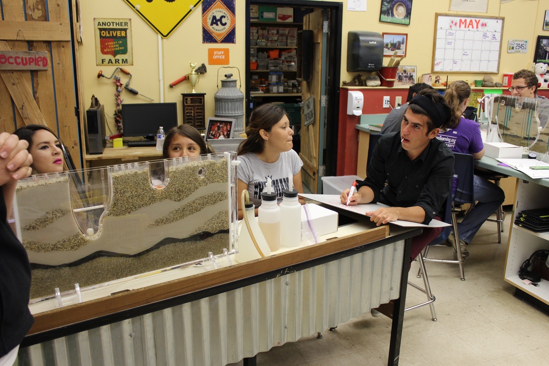
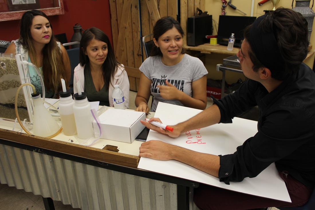
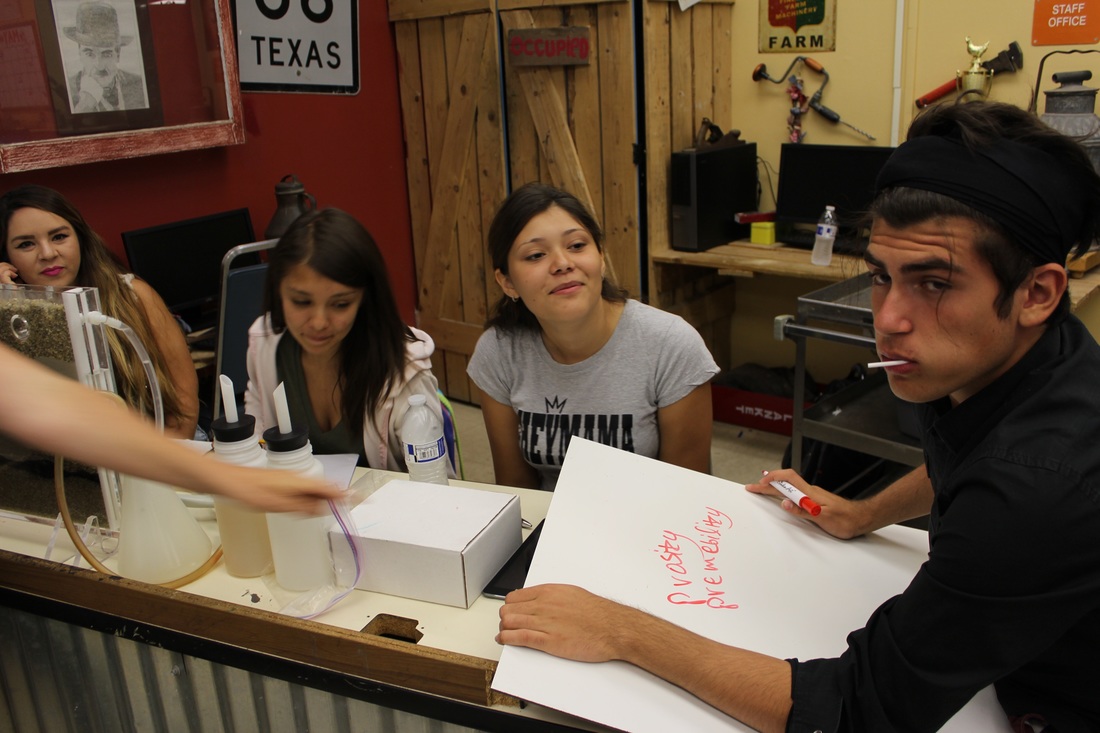
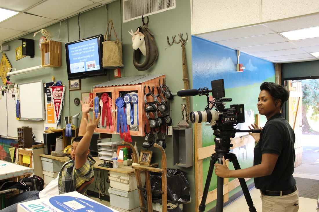
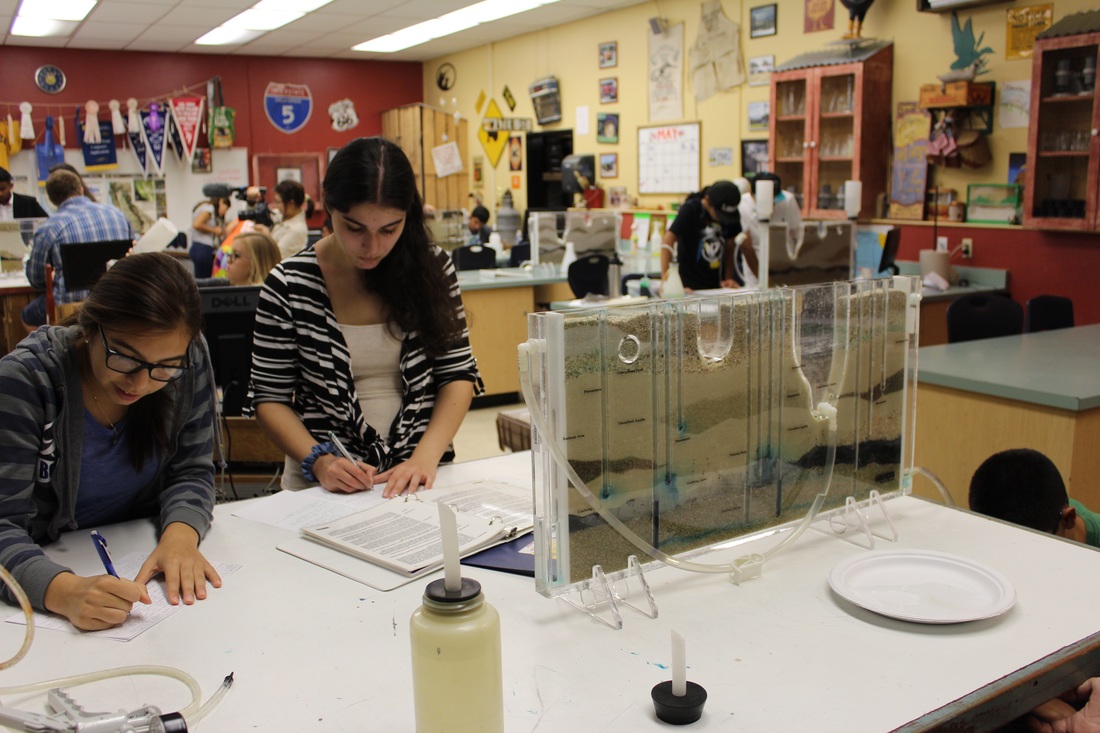
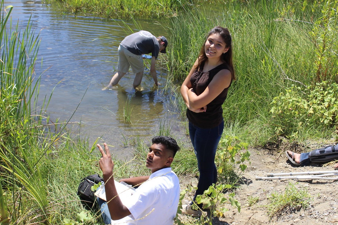
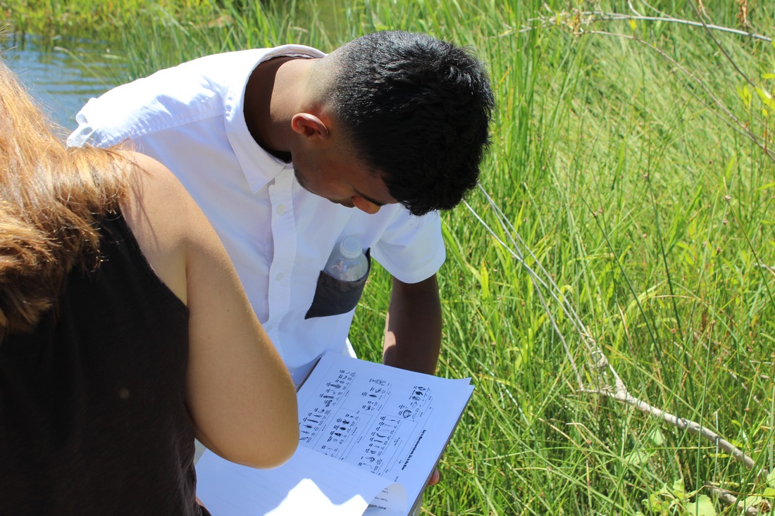
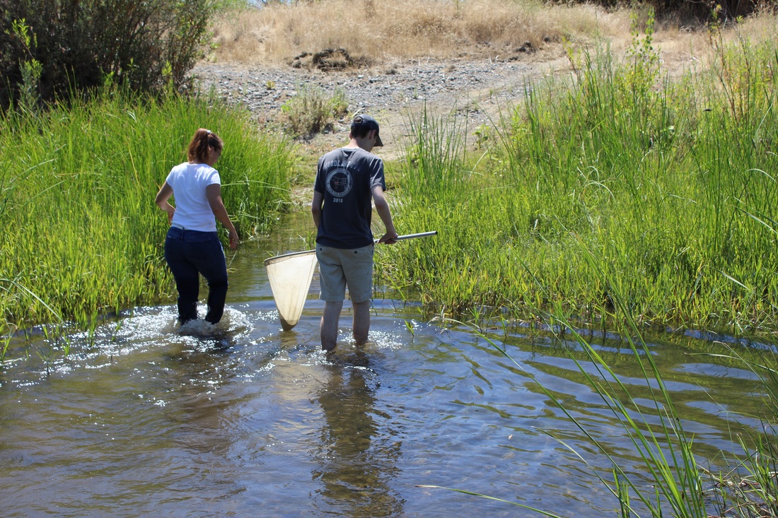
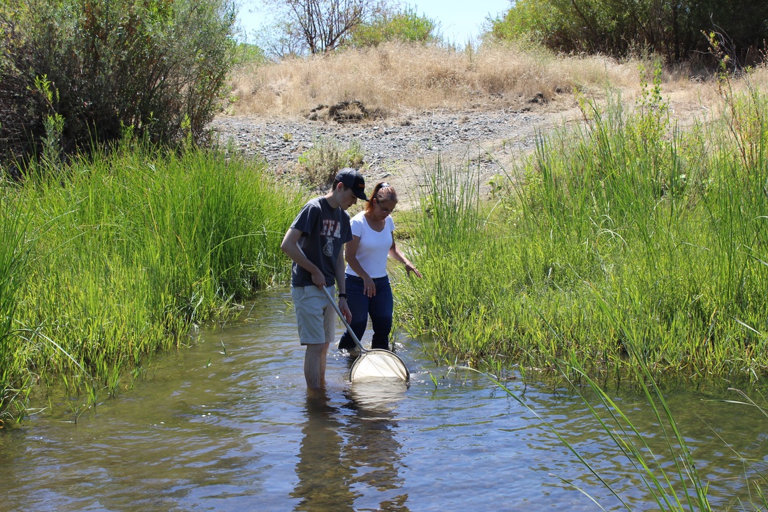
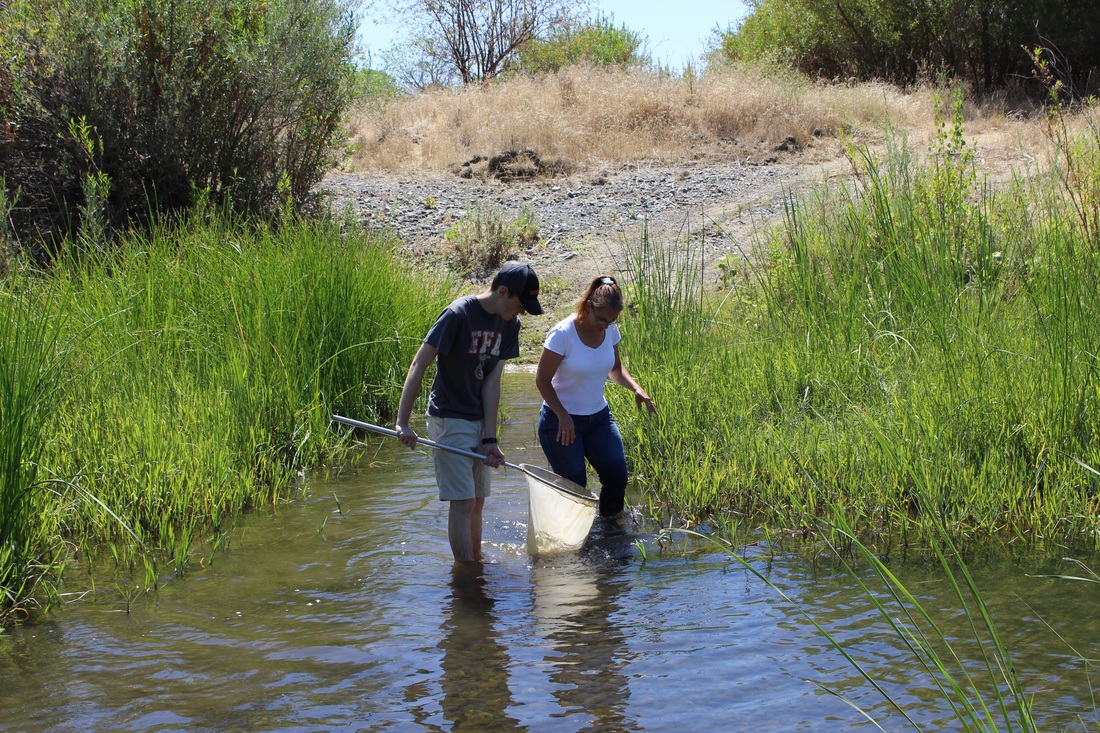
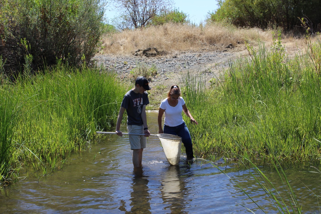
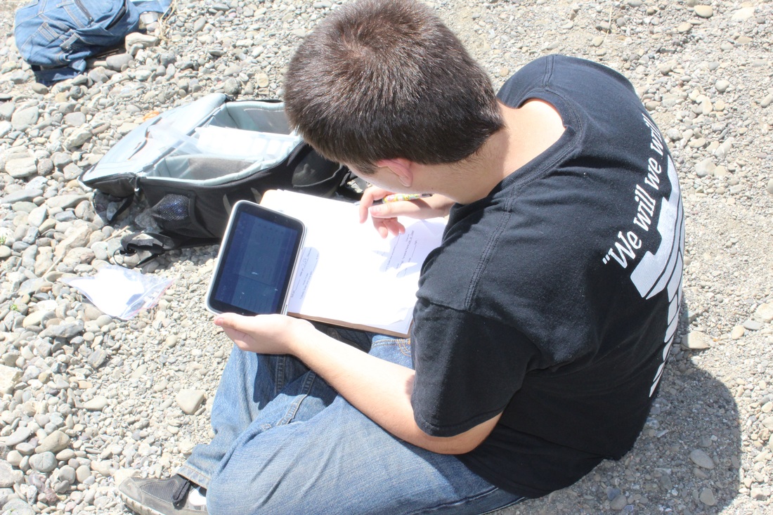
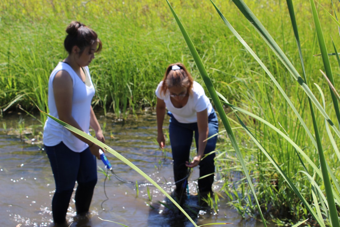
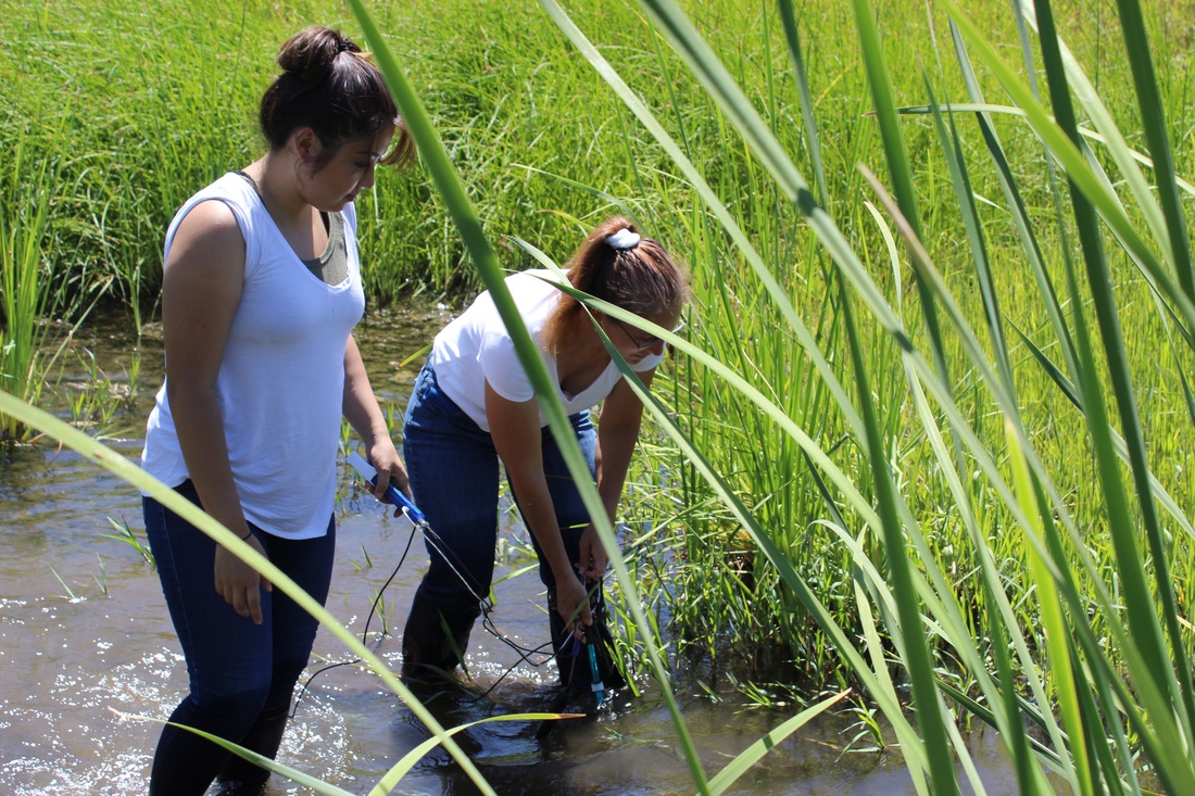
Pictures from Summer SunPower Academy
click on the pictures you want and drag them to your desktop
Click to enlarge
Click to enlarge